


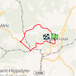


9.1 km | 13.9 km-effort


User


FREE GPS app for hiking
 SityTrail
IGN / Geographical institutes
SityTrail World
The world is yours!
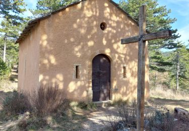
Trail Walking of 5.8 km to be discovered at Provence-Alpes-Côte d'Azur, Vaucluse, Le Barroux. This trail is proposed by alainbarrot.


Walking
Walking

Walking

Running

Walking
Walking
Walking
Walking
Walking
fin moyen sur la route
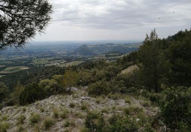
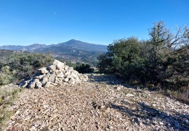
1 ère heure parcours en sous bois très sympa à l abri du vent. 30mn en fin de parcous sur la route avec de beaux panoramas.